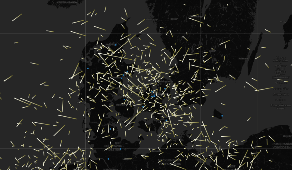
The RMS cameras and their captures are published daily on the GMN meteor map, which has search functions for filtering data or learning more about a particular meteor.
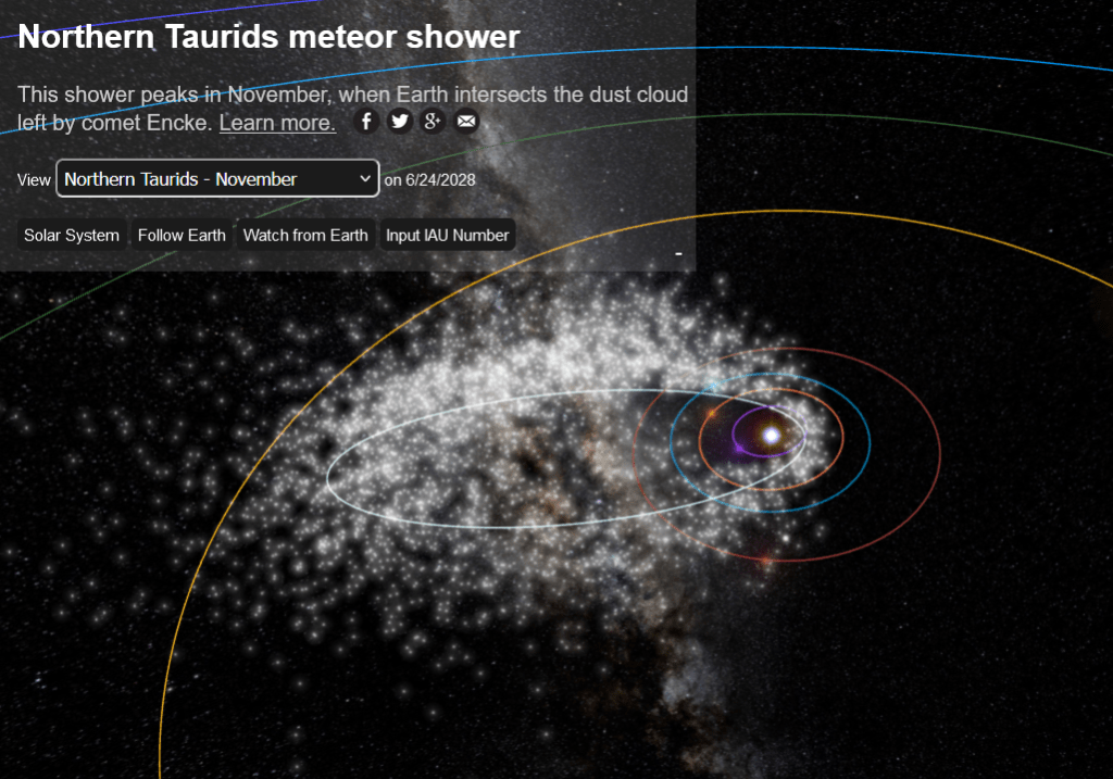
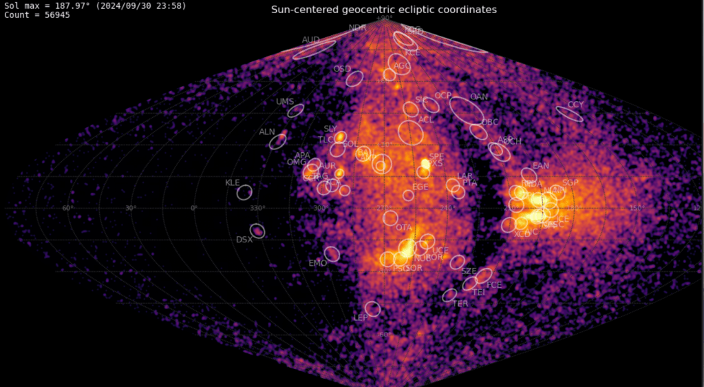
Meteor showers form because Earth orbits the Sun and intercepts fragmented comets and asteroids. These appear to come from particular parts of the night sky, and so are named after the constellation in that area. (The meteors don’t actually come from there – but rather from debris within the Solar System). The below figure, from the Global Meteor Network, shows a radiant map indicating the density of debris for a single month, as determined by the RMS cameras around the world. This site can be accessed here. A list of meteor showers is can be found here. Many of the meteors are erratics and not tied to a particular meteor shower.
The data that are provided to the NASA CAMS server are also used to determine meteor showers. Those data are shown on the CAMS page here, which contributes to this spectacular meteor shower synthesis.